The foundation of Carthage
Birth of a Mediterranean superpower: a princess in exile, an oxhide, a hill facing the sea.
Traditional year of foundation (BC)
Inhabitants at its peak according to Strabo — probably an exaggeration
Of city walls, according to ancient writers
Warships housed in the circular harbour
Storeys of the houses on the slopes of Byrsa, according to Appian
Elephants stabled inside the walls
Elissa, princess of Tyre
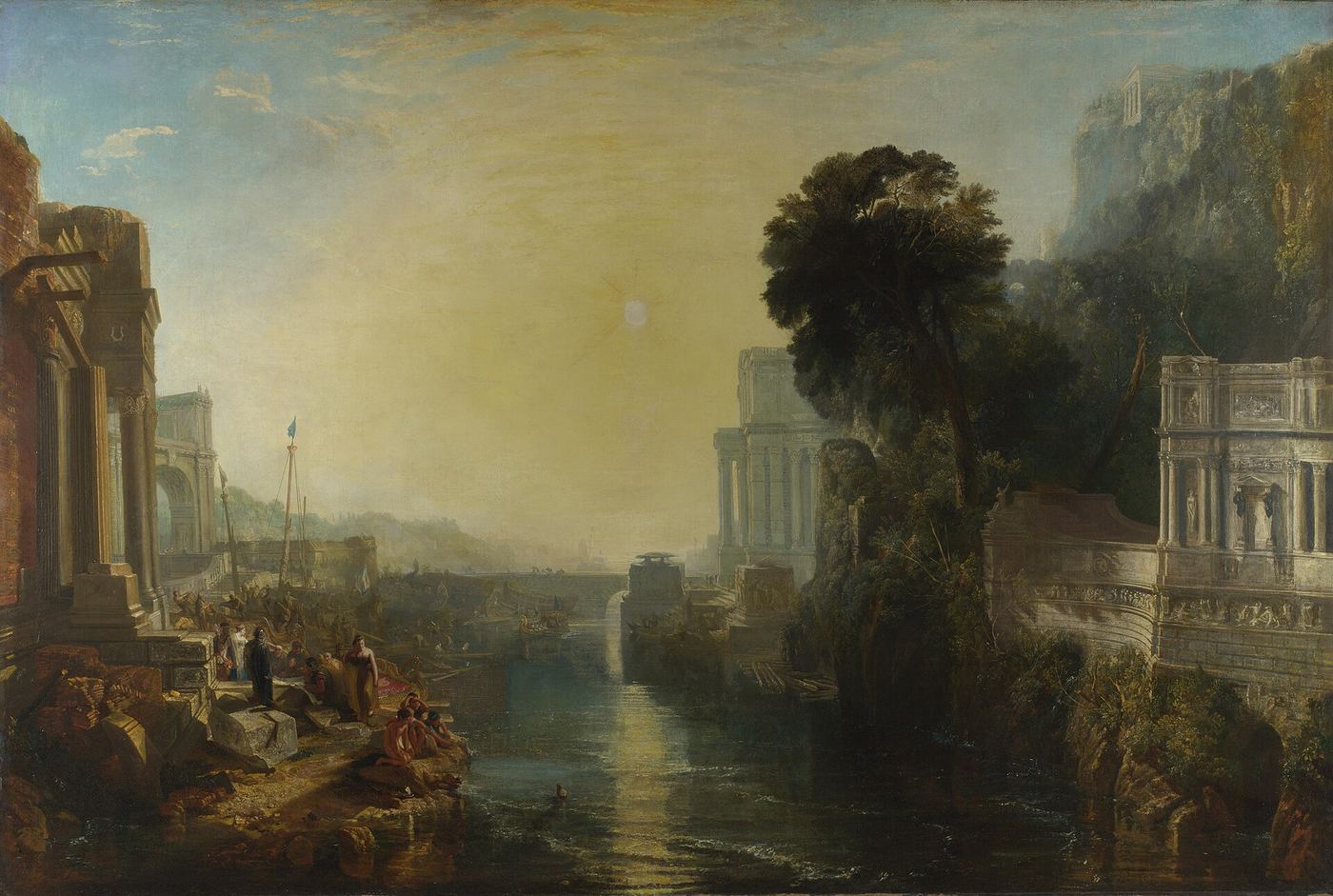
Dido (Elissa) was a Phoenician princess from Tyre, in present-day Lebanon. Her brother Pygmalion, king of Tyre, murdered her husband Sychaeus — a wealthy priest of the temple of Melqart, the Phoenician Hercules — to seize his treasure. Her husband's ghost warned her in a dream.
She fled by sea with a group of loyal followers and Sychaeus's riches. During a stop in Cyprus, 80 young women joined the expedition; she reached the coast of present-day Tunisia around 814 BC.
There she negotiated with the Libyan (Berber) king Iarbas for land: as much as a single oxhide could cover — a seemingly modest request. According to the legend, when later pressed to marry Iarbas, she chose to throw herself onto a pyre.
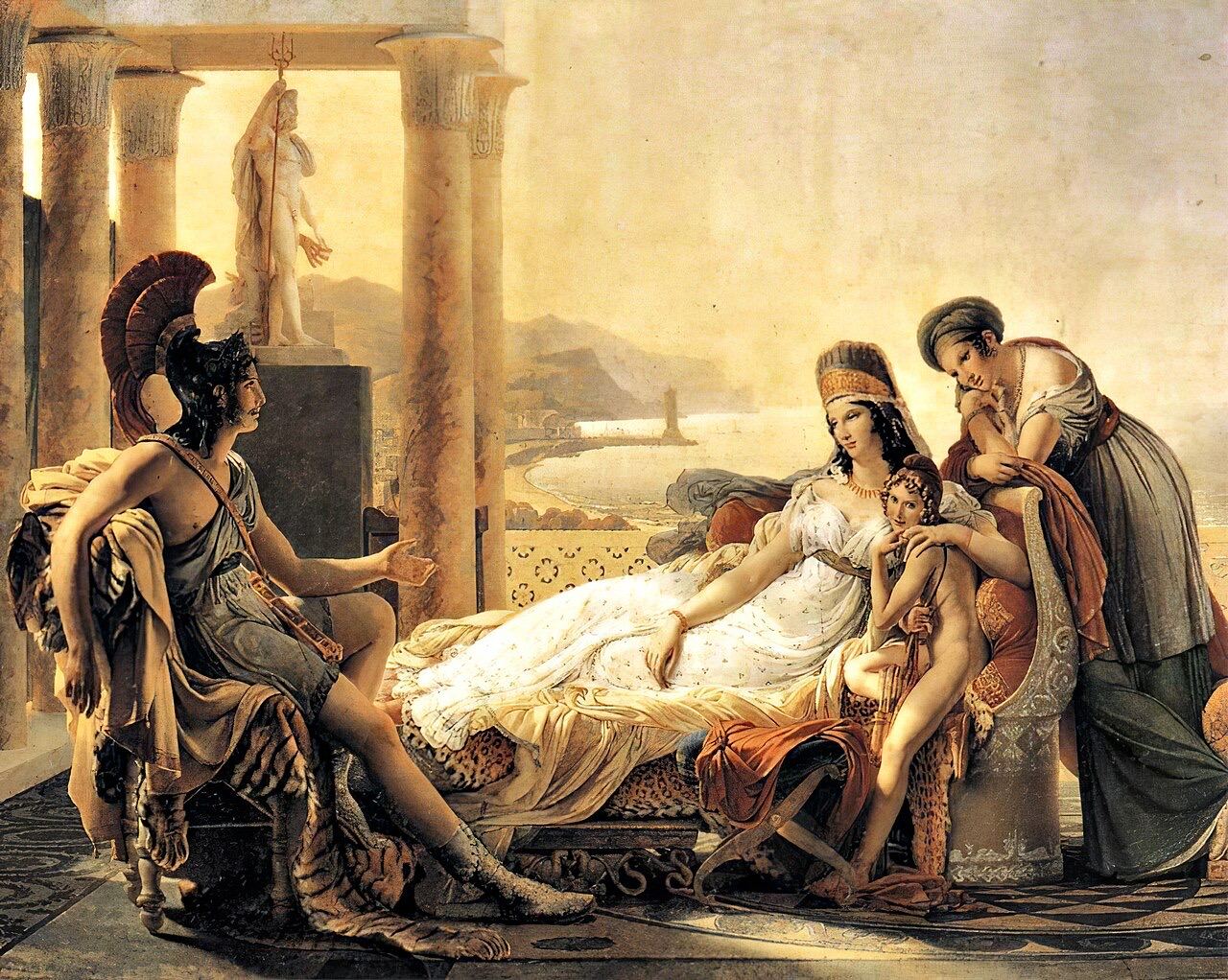
The story comes to us from Greek and Latin writers — Timaeus, Justin (epitome of Pompeius Trogus), Virgil. The meeting with Aeneas is a poetic invention of the Aeneid: the dates do not match.
History written by the victor →The oxhide stratagem
How Dido founded Carthage by cunning.
The request
Dido asks Iarbas for as much land as an oxhide can cover. The king, thinking it trivial, agrees.
The trick
She has the hide cut into extremely thin strips, forming a very long leather cord.
The foundation
With these strips she encircles the whole hill of Byrsa — from the Greek "byrsa", hide. There she founds Qart Hadasht, the "New City".
The growth
From this hill, Carthage grows into one of the greatest cities of the ancient world, with a naval harbour for 220 ships.
What the excavations say
Qart Hadasht, the "New City"
In Phoenician, qart means "city" and hadasht "new": a new Tyre in Africa. The Greeks made it Karchēdōn, the Romans Carthago — and the name still lives on in Tunisia. Cartagena, in Spain, bore the same name, Qart Hadasht.
Before Carthage: the western Phoenician network
For the Phoenicians, North Africa was at first a stopover on the route to the metals of Spain. Carthage joined a network that was already old.
Utica
According to Pliny the Elder (Natural History, XVI, 216), the first Phoenician foundation in Africa, almost three centuries before Carthage. This is a traditional date: the oldest remains found are considerably later.
Lixus
Beyond the Strait of Gibraltar, near modern Larache. Pliny (XIX, 63) counts it among the oldest Phoenician settlements; it later came into the orbit of Carthage.
Gades (Gadir)
Modern Cádiz, on an island. Velleius Paterculus (I, 2, 3) dates its foundation by the Tyrians shortly after the Trojan War. It opened access to the silver and tin of the Iberian Peninsula.
A confederation rather than an empire
As Tyre declined, Carthage took the lead of the western Phoenician colonies and handled their common defence and foreign policy. Sabatino Moscati saw this loose structure as one of the causes of its final defeat.
A land already inhabited
The Phoenicians did not land on empty ground. North Africa was home to the Libyans, whom Egyptian texts already call Libu at the end of the 2nd millennium BC. For Gabriel Camps they are the ancestors of the Berbers; they were not a single people but a patchwork of tribes.
Settlement was negotiated. In the legend, Elissa obtains her land from the Libyan king Iarbas; according to Justin (XVIII, 5), Carthage then paid the Africans a yearly rent for the ground of the city. It was freed from it only in the 5th century BC, when the Magonids subdued the hinterland by force (Justin, XIX, 1-2).
The relationship was then reversed: the rural Libyans became subjects owing a heavy tribute, mostly in grain (Polybius, I, 71-72). Their revolts punctuate the history of the city, up to the Mercenary War (241–238).
It was long thought that the defeat at Himera (480) pushed Carthage to turn towards Africa (Decret). Some historians rather see a gradual expansion, needed to feed a growing population.
Marriage alliances between the Punic aristocracy and African princely families were common — Hamilcar Barca promised his daughter to the Numidian prince Naravas (Polybius, I, 78) — without the Carthaginian state losing its Phoenician character.
Phoenicians of Africa
From the mixing of settlers and Libyans came a population the Greeks called “Libyphoenicians”. Ancient authors disagree about their status and territory, probably south of Carthage. They acted as go-betweens between Punic culture and the Berber world.
An ideal site, a planned city
A city of many peoples
Phoenician settlers, Libyans, Greeks, Iberians and people from all over the Punic world lived side by side in Carthage, and mixed marriages were frequent.
From the earliest days of colonisation, archaeology reveals mixed communities: out of this blend grew an original civilisation.
The city of Carthage
A metropolis at the forefront of its age.
Multi-storey houses
According to Appian, three streets lined with six-storey houses climbed from the agora to Byrsa. Excavations have found planned streets, cisterns, gutters and soakaway pits for waste water, and houses with bathrooms.
The twin harbour
A rectangular commercial harbour and a circular naval harbour, the Cothon, able to shelter 220 warships in individual sheds.
Temples and tophet
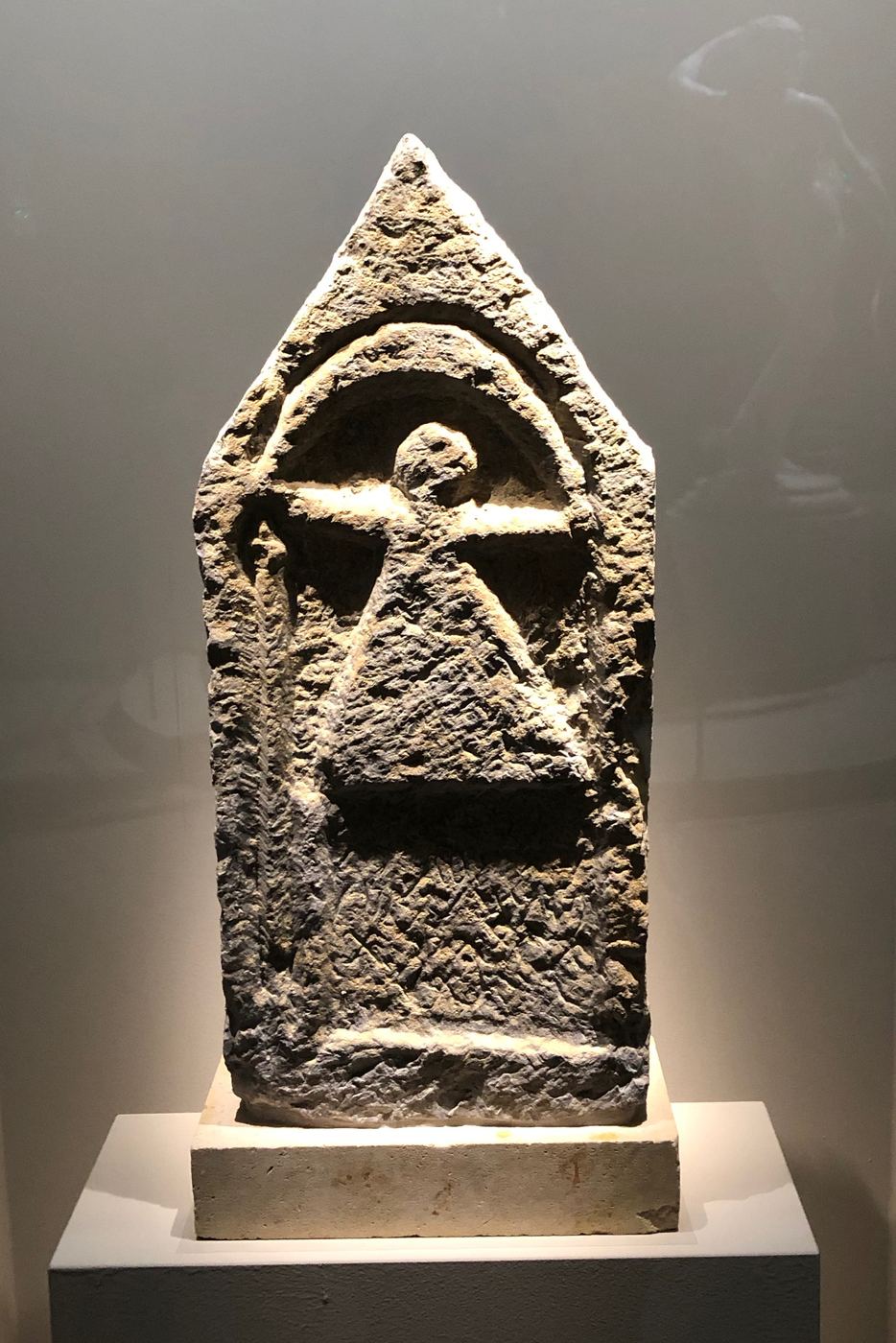
The temple of Eshmun crowned the hill of Byrsa. Near the harbours, the tophet of Salammbô, an open-air sanctuary to Baal Hammon and Tanit, has yielded thousands of stelae.
The gods of Carthage →Crafts and purple
Pottery, glass and goldsmith workshops. Production of Tyrian purple, extracted from a sea snail, the murex.
The economy →Water management
Lacking abundant springs, every house collected rainwater in cisterns. Around the city, skilled irrigated farming fed the population. The great Zaghouan aqueduct, by contrast, is Roman.
Agriculture →Colossal walls
Some 34 km of ramparts. On the isthmus side, a triple line of walls 13 m high and 9 m thick housed stables for 300 elephants and 4,000 horses, and barracks for 20,000 infantry and 4,000 cavalry.
The army →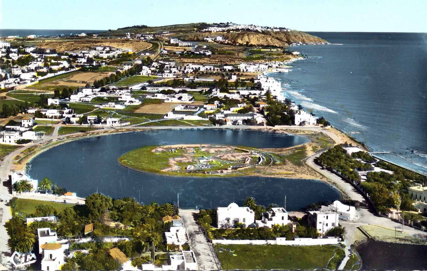
The harbour of Carthage
The famous twin harbour, naval and commercial, described by Appian and found by archaeologists south of the city.
The commercial harbour
Rectangular, opening onto the sea through an entrance 70 feet wide that could be closed with iron chains. Merchant ships unloaded their cargoes here.
The naval harbour
Circular, reachable only through the commercial harbour. A double wall hid it from view: merchants could not see the arsenal.
The admiral's island
In the centre, an island held the admiral's headquarters, from which the sea was watched and signals given.
Ship sheds
Covered bays, separated by Ionic columns, each housed a war galley.
Punic craftsmanship
Tools and objects that bear witness to Carthaginian skill.
Oil lamps
Simple pinched saucers with two spouts, they lit houses, sanctuaries and tombs.
Amphorae
Wine, olive oil, salted fish: Punic amphorae are found all around the Mediterranean.
Coins
Struck from the late 5th century, they show the horse, the palm tree or the profile of a goddess.
Weapons and tools
Smiths and bronze-workers produced swords, spearheads, stonemasons' chisels and farm tools.
Scrolls and learning
The 22-letter Phoenician alphabet served for archives and books. Mago's treatise on agronomy was translated into Latin by order of the Roman Senate.
Mago the agronomist →Stelae
Thousands of carved stelae from the tophet, often decorated with the sign of Tanit, show the art of the stonemasons.
Carthage and its first colonies
Full-size map →Approximate borders based on historical syntheses (spheres of influence, not modern borders). Base map: Natural Earth. Ancient sites: customary locations.
Remains of Carthage today
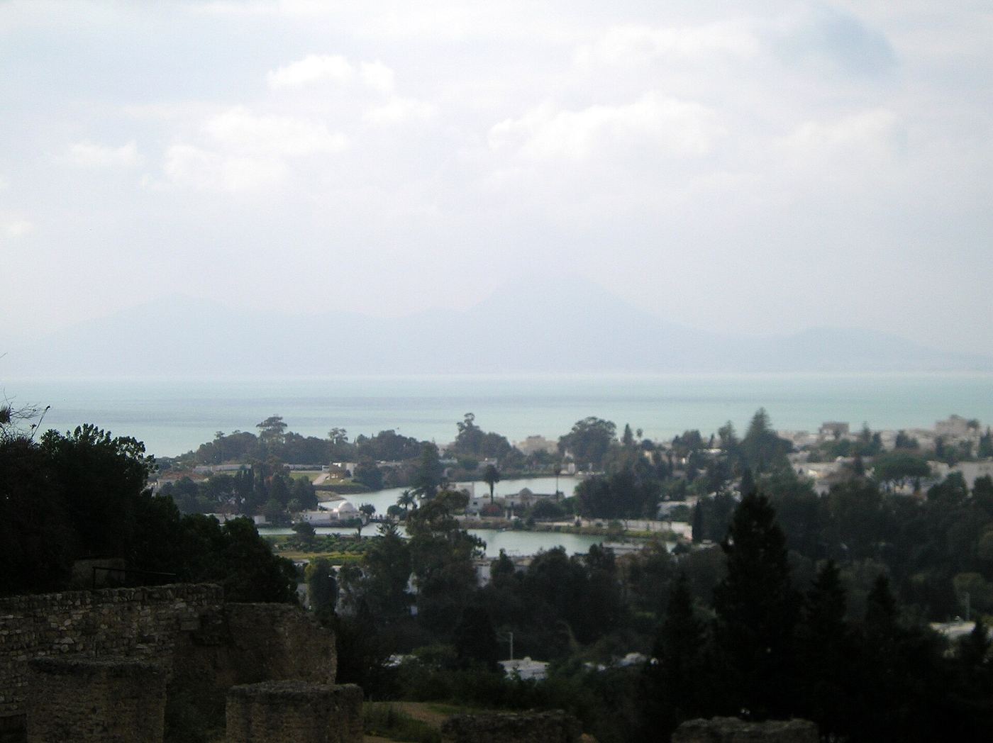
Byrsa
The heart of the legendary city, now home to the Carthage National Museum.
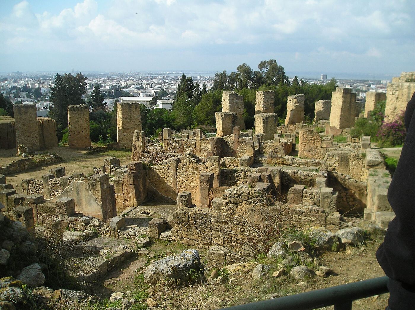
The Punic quarter
Punic houses, streets and cisterns preserved beneath Roman fill.
The circular harbour
The admiral's island can still be made out in the middle of the lagoon.
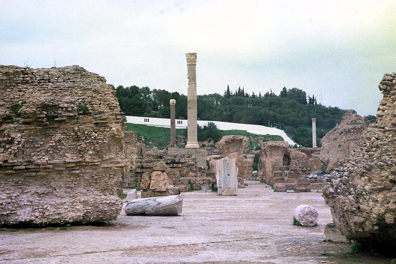
Antonine Baths
Roman Carthage, refounded on the same site, by the gulf.